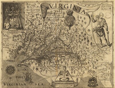
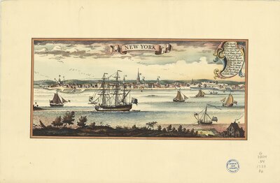
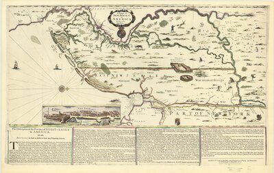
Maps in Early American Exploration

As much as guns and warships, maps have been the weapons of imperialism. Insofar as maps were used in colonial promotion, and lands claimed on paper before they were effectively occupied, maps anticipated empire. Surveyors marched alongside soldiers, initially mapping for reconnaissance, then for general information, and eventually as a tool of pacification, civilization, and exploitation in the defined colonies. But there is more to this than the drawing of boundaries for the practical political or military containment of subject populations. Maps were used to legitimize the reality of conquest and empire.
From "Maps, Knowledge, and Power, in “Maps, Knowledge, and Power” in
Harley, J. B., and Paul Laxton. The New Nature of Maps: Essays in the History of Cartography. Johns Hopkins Univ. Press, 2002. pg 57